Mapping the United States
Students start the year with maps and globes. They find big rivers and mountain ranges, and they learn how the equator and other lines help locate places on Earth.
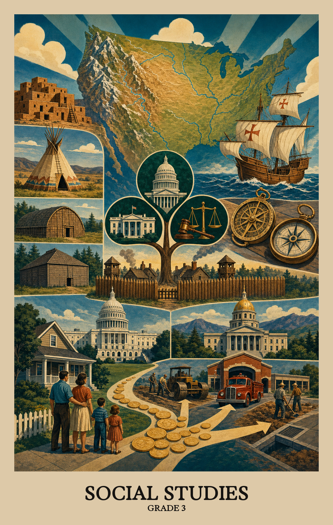
This is the year social studies stretches back in time and out across a map. Students learn how American Indians lived in different regions, why European explorers came, and how the first colonies took shape. They start reading physical maps of the United States and meet the three branches of government at the national and state level. By spring, students can name the jobs of the president, Congress, and the courts, and explain why a family pays taxes.
Students start the year with maps and globes. They find big rivers and mountain ranges, and they learn how the equator and other lines help locate places on Earth.
Students study American Indian groups across different regions of the country. They look at how each group used the land around them for food, clothing, and shelter, and how those cultures still shape American life.
Students follow explorers from Spain, England, France, and the Netherlands as they sailed to North America. They talk about why explorers came, what got in their way, and what happened when they met the people already living here.
Students look at the New England, Mid-Atlantic, and Southern colonies. They compare how families lived, worked, learned, and worshipped, and they hear the story from farmers, landowners, women, children, indentured servants, and enslaved people.
Students learn that the country and the state both have three branches that make, enforce, and review laws. They also talk about the rights and habits that hold a democracy together, like voting and following fair rules.
Students wrap up the year with how an economy works. They sort the resources that go into making things, see how taxes pay for schools and roads, and practice thinking about what you give up when you pick one choice over another.
Students learn about the peoples who lived in North America long before European settlers arrived, including how they built communities, found food, and passed down traditions.
Students learn where different American Indian groups lived across North America, from the frozen Arctic to the desert Southwest to the grassy Plains. Each region shaped how those groups built homes, found food, and lived day to day.
Students look at two or more American Indian groups from different regions and explain how each one used the land, animals, and plants around them to get food, make clothing, and build shelter.
Students learn that American Indian peoples have been shaping U.S. culture from the start and still do today, through art, writing, and other traditions passed down across generations.
Students learn about the European explorers who sailed to North America, where they landed, and what happened when they arrived and met the people already living there.
Students learn why European explorers set out for North America (finding trade routes, gaining wealth) and what stood in their way (unfamiliar land, harsh weather, limited supplies).
Students learn what each of six European explorers actually found or did, such as which ocean Balboa crossed or which river Hudson mapped, and which country sent them.
Students look at moments when European explorers and American Indians worked together, such as trading or sharing food, and moments when they clashed over land and resources.
Students learn why colonists settled in different parts of America, what daily life looked like in the colonies, and how geography, religion, and trade shaped the world they built before the United States existed.
Students learn why the first American colonies were started. Some settlers came for religious freedom, others came to make money, and the reasons often differed depending on which region they settled in.
Students compare how daily life differed across three regions of early America, looking at how children were schooled, how families earned a living, and how communities worshipped.
Colonial America looked very different depending on who you were. Students learn how daily life varied for landowners, farmers, craftspeople, women, children, servants, enslaved people, and American Indians living in the colonies.
| Standard | Definition | Code |
|---|---|---|
| Describe early American Indian cultures and their development in North America | Students learn about the peoples who lived in North America long before European settlers arrived, including how they built communities, found food, and passed down traditions. | SS3H1 |
| Locate the regions where American Indians settled in North America | Students learn where different American Indian groups lived across North America, from the frozen Arctic to the desert Southwest to the grassy Plains. Each region shaped how those groups built homes, found food, and lived day to day. | SS3H1.a |
| Compare and contrast how American Indians in each region used their environment… | Students look at two or more American Indian groups from different regions and explain how each one used the land, animals, and plants around them to get food, make clothing, and build shelter. | SS3H1.b |
| Discuss how American Indians continue to contribute to American life | Students learn that American Indian peoples have been shaping U.S. culture from the start and still do today, through art, writing, and other traditions passed down across generations. | SS3H1.c |
| Describe European exploration in North America | Students learn about the European explorers who sailed to North America, where they landed, and what happened when they arrived and met the people already living there. | SS3H2 |
| Describe the reasons for and obstacles to the exploration of North America | Students learn why European explorers set out for North America (finding trade routes, gaining wealth) and what stood in their way (unfamiliar land, harsh weather, limited supplies). | SS3H2.a |
| Describe the accomplishments of | Students learn what each of six European explorers actually found or did, such as which ocean Balboa crossed or which river Hudson mapped, and which country sent them. | SS3H2.b |
| Describe examples of cooperation and conflict between European explorers and… | Students look at moments when European explorers and American Indians worked together, such as trading or sharing food, and moments when they clashed over land and resources. | SS3H2.c |
| Explain the factors that shaped British Colonial America | Students learn why colonists settled in different parts of America, what daily life looked like in the colonies, and how geography, religion, and trade shaped the world they built before the United States existed. | SS3H3 |
| Identify key reasons why the New England, Mid-Atlantic | Students learn why the first American colonies were started. Some settlers came for religious freedom, others came to make money, and the reasons often differed depending on which region they settled in. | SS3H3.a |
| Compare and contrast colonial life in the New England, Mid-Atlantic | Students compare how daily life differed across three regions of early America, looking at how children were schooled, how families earned a living, and how communities worshipped. | SS3H3.b |
| Describe colonial life in America from the perspectives of various people | Colonial America looked very different depending on who you were. Students learn how daily life varied for landowners, farmers, craftspeople, women, children, servants, enslaved people, and American Indians living in the colonies. | SS3H3.c |
Students find and name major landforms and bodies of water on a U.S. map, like mountain ranges, rivers, and plains. Reading a physical map is the skill; knowing where key features sit is the goal.
Students find and name six key rivers on a U.S. map, including the Mississippi, Rio Grande, and Hudson. Knowing where these rivers run helps students understand how water shaped where people settled and how goods moved across the country.
Students find and name the Appalachian and Rocky Mountains on a physical map of the United States. These two mountain ranges run in different directions and show up on opposite sides of the country.
Students find the equator, prime meridian, and the grid of latitude and longitude lines on a globe. These invisible lines act like a street address system, helping people pinpoint any place on Earth.
Students learn how geography shapes how people live. They look at why towns grow near rivers, why farms exist in flat land, and how mountains or deserts push people toward certain jobs, foods, and buildings.
Students study why Native American groups settled where they did, looking at how land, water, and food sources shaped where people built permanent villages or kept moving.
Early explorers had to adjust how they lived and traveled based on the land, water, and weather they encountered. Students learn why some explorers survived harsh environments and others did not.
Students learn how landforms, climate, and natural resources shaped what early American colonists farmed, fished, or traded. Rocky soil pushed New Englanders toward fishing and trade, while the South's warm, flat land supported large farms.
| Standard | Definition | Code |
|---|---|---|
| Locate major topographical features on a physical map of the United States | Students find and name major landforms and bodies of water on a U.S. map, like mountain ranges, rivers, and plains. Reading a physical map is the skill; knowing where key features sit is the goal. | SS3G1 |
| Locate major rivers of the United States of America | Students find and name six key rivers on a U.S. map, including the Mississippi, Rio Grande, and Hudson. Knowing where these rivers run helps students understand how water shaped where people settled and how goods moved across the country. | SS3G1.a |
| Locate major mountain ranges of the United States of America | Students find and name the Appalachian and Rocky Mountains on a physical map of the United States. These two mountain ranges run in different directions and show up on opposite sides of the country. | SS3G1.b |
| Locate and describe the equator, prime meridian | Students find the equator, prime meridian, and the grid of latitude and longitude lines on a globe. These invisible lines act like a street address system, helping people pinpoint any place on Earth. | SS3G2 |
| Describe how physical systems affect human systems | Students learn how geography shapes how people live. They look at why towns grow near rivers, why farms exist in flat land, and how mountains or deserts push people toward certain jobs, foods, and buildings. | SS3G3 |
| Explain why American Indian groups occupied the areas they did, with emphasis… | Students study why Native American groups settled where they did, looking at how land, water, and food sources shaped where people built permanent villages or kept moving. | SS3G3.a |
| Describe how the early explorers adapted | Early explorers had to adjust how they lived and traveled based on the land, water, and weather they encountered. Students learn why some explorers survived harsh environments and others did not. | SS3G3.b |
| Explain how the physical geography of the New England, Mid-Atlantic | Students learn how landforms, climate, and natural resources shaped what early American colonists farmed, fished, or traded. Rocky soil pushed New Englanders toward fishing and trade, while the South's warm, flat land supported large farms. | SS3G3.c |
Students learn how the U.S. government works: citizens vote for leaders who make decisions on their behalf. They explore how this system of elected representatives shapes the laws and rules that govern everyday life.
The U.S. government has three parts: Congress makes the laws, the president carries them out, and the Supreme Court decides if laws are fair. Students learn what each branch does and why the country is set up that way.
Students learn that Georgia's state government is split into three parts: the governor runs the executive branch, the General Assembly writes the laws, and the Supreme Court of Georgia decides whether laws are fair.
Each branch of the U.S. government has one main job: Congress writes the laws, the President signs and enforces them, and the courts decide if a law is fair.
Students learn why Americans hold shared beliefs like fairness, equality, and freedom, and how those values shape the way people treat each other and take part in community life.
Respecting others' rights means letting people speak, worship, and live freely even when you disagree. Students learn why protecting those rights for everyone makes communities work better for all.
Students learn why laws work better when people follow them willingly, and why showing up matters in a democracy. Following rules, voting, and speaking up are how citizens keep self-government running.
| Standard | Definition | Code |
|---|---|---|
| Describe the elements of representative democracy/republic in the United States | Students learn how the U.S. government works: citizens vote for leaders who make decisions on their behalf. They explore how this system of elected representatives shapes the laws and rules that govern everyday life. | SS3CG1 |
| Describe the three branches of national government | The U.S. government has three parts: Congress makes the laws, the president carries them out, and the Supreme Court decides if laws are fair. Students learn what each branch does and why the country is set up that way. | SS3CG1.a |
| Describe the three branches of state government | Students learn that Georgia's state government is split into three parts: the governor runs the executive branch, the General Assembly writes the laws, and the Supreme Court of Georgia decides whether laws are fair. | SS3CG1.b |
| State the main responsibility of each branch | Each branch of the U.S. government has one main job: Congress writes the laws, the President signs and enforces them, and the courts decide if a law is fair. | SS3CG1.c |
| Explain the importance of Americans sharing certain central democratic beliefs… | Students learn why Americans hold shared beliefs like fairness, equality, and freedom, and how those values shape the way people treat each other and take part in community life. | SS3CG2 |
| Explain the necessity of respecting the rights of others and promoting the… | Respecting others' rights means letting people speak, worship, and live freely even when you disagree. Students learn why protecting those rights for everyone makes communities work better for all. | SS3CG2.a |
| Explain the necessity of obeying reasonable laws/rules voluntarily | Students learn why laws work better when people follow them willingly, and why showing up matters in a democracy. Following rules, voting, and speaking up are how citizens keep self-government running. | SS3CG2.b |
Students sort the things used to make or provide goods and services into four groups: nature (like farmland or water), people's work, tools and equipment, and the people who take a risk to start a business.
Governments use tax money to pay for things everyone shares, like schools, libraries, roads, and police and fire protection. Students learn why those services come from the government instead of a store.
Students learn why people and countries trade with each other. They look at real examples of goods and services being swapped, then explain why both sides come out better when a trade is their choice.
Producers make goods and services; consumers buy and use them. Students learn why each group depends on the other to keep the economy working.
When something costs more, fewer people buy it. When it costs less, more people do. Price is how a marketplace decides who gets what and how much of it gets made.
Students learn that the things they buy (food, clothes, toys) might be made in their own town, somewhere else in the United States, or in another country entirely.
Most countries print their own money instead of sharing a single currency with the world. Students learn why each country's bills and coins are unique and how that system makes buying and selling across borders possible.
When students decide to spend money on one thing, they give up the chance to buy something else. That trade-off is called opportunity cost.
| Standard | Definition | Code |
|---|---|---|
| Define and give examples of the four types of productive… | Students sort the things used to make or provide goods and services into four groups: nature (like farmland or water), people's work, tools and equipment, and the people who take a risk to start a business. | SS3E1 |
| Explain that governments provide certain types of goods and services in a… | Governments use tax money to pay for things everyone shares, like schools, libraries, roads, and police and fire protection. Students learn why those services come from the government instead of a store. | SS3E2 |
| Give examples of interdependence and trade and explain the benefits of… | Students learn why people and countries trade with each other. They look at real examples of goods and services being swapped, then explain why both sides come out better when a trade is their choice. | SS3E3 |
| Describe the interdependence of consumers and producers | Producers make goods and services; consumers buy and use them. Students learn why each group depends on the other to keep the economy working. | SS3E3.a |
| Describe how goods and services are allocated by price in the marketplace | When something costs more, fewer people buy it. When it costs less, more people do. Price is how a marketplace decides who gets what and how much of it gets made. | SS3E3.b |
| Explain that some goods are made locally, some elsewhere in the country | Students learn that the things they buy (food, clothes, toys) might be made in their own town, somewhere else in the United States, or in another country entirely. | SS3E3.c |
| Explain that most countries create their own currency for use as money | Most countries print their own money instead of sharing a single currency with the world. Students learn why each country's bills and coins are unique and how that system makes buying and selling across borders possible. | SS3E3.d |
| Explain the concept of opportunity cost as it relates to making a saving or… | When students decide to spend money on one thing, they give up the chance to buy something else. That trade-off is called opportunity cost. | SS3E4 |
Federally administered sample-based assessment in reading, mathematics, science, writing, and other subjects. NAEP results inform state-by-state comparisons rather than individual student or school accountability.
Students learn about the first peoples of North America, the European explorers who came later, and the early colonies. They also study United States geography, how the government works, and basic ideas about money, jobs, and trade.
Pull out a map of the United States and find the big rivers and mountain ranges together. Talk about news stories that involve mayors, governors, or the president, and ask which branch of government is doing the work. Ten minutes of map time or news talk a week goes a long way.
Yes. Students are expected to know explorers like Columbus, Hudson, and Cartier, the three colonial regions, and the three branches of government. Flashcards, a hand-drawn map on the fridge, or a quick quiz in the car all help the names stick.
A common path is American Indian regions first, then European exploration, then the three colonial regions, with geography woven in as each unit calls for it. Government and economics can run as shorter units in between or be saved for the spring once students have historical context to anchor them.
The three branches of government and the difference between state and national versions trip students up every year. The four productive resources and opportunity cost also need repeated examples from everyday life, like running a lemonade stand or choosing between two snacks.
Tie each explorer to a route on a map and one obstacle they faced, such as weather, food, or conflict with the people already living there. For the colonies, compare daily life for a farmer, an artisan, a child, and an enslaved person side by side so students see more than one perspective.
Opportunity cost is what students give up when they pick one thing over another. If a student spends five dollars on a toy, the opportunity cost is the book or snack they could have bought instead. Talking through small spending or saving choices at home builds the idea quickly.
By spring, students should be able to point out major United States rivers and mountains on a map, name the three branches of government and what each one does, and explain why people came to the colonies. They should also be able to give an example of a good or service and how it gets paid for.